
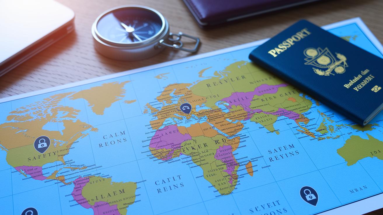

Wondering if your travel plans are safe? The US State Department now has an interactive map that turns complex safety data into a clear, color-coded guide.
This handy tool shows you travel risks at a glance, from local crime statistics to health alerts, so you can decide what precautions to take before you hit the road.
In this post, we explain how the map’s real-time, easy-to-read insights help you make smarter travel choices.
Interactive Travel Advisories Map Overview
The US State Department now offers an interactive world advisory map that gives travelers a fast look at current safety updates worldwide. Each country is split into four risk levels: Level 1 means normal precautions are enough, and Level 4 means travel should be avoided. This clear system helps you quickly spot which destinations might have safety issues.
The map is built for ease of use. You can zoom into regions, pan across continents, or click on a country to see more details. These details cover local crime figures, health updates, and even climate change effects. For example, a click on the “Crime & Safety” tab shows specific data on potential hazards, making the map a handy tool for planning safe trips.
The “Quick Look” section gives you a brief snapshot of the most important travel details. Extra layers of information in sections like “Crime & Safety” and “Climate Change” meet different traveler needs. This interactive tool turns a complicated check into a simple way to review global risks and alerts.
Example: Think of it as a small light that reveals hidden dangers. With one click, the map turns complex data into clear, actionable alerts, helping even the busiest traveler make smart choices.
This smart design lets you tailor your travel research in real time so that you have the most up-to-date safety insights before boarding your plane.
Travel Advisory Levels and Global Risk Visualization

This interactive travel map shows clear risk information and gets updated with new security, health, and environmental data through 2026. Its design blends real-time features with a simple color-coded chart so travelers can quickly decide what safety steps to take.
- Level 1 (Green): Take normal safety steps, much like the everyday precautions you’d use in a big city.
- Level 2 (Yellow): Use extra care because of issues like rising crime, health alerts, or terrorism risks. It’s like checking the weather before you go out.
- Level 3 (Orange): Rethink your trip due to higher safety concerns, similar to seeing a road sign that warns you to slow down or change your route.
- Level 4 (Red): Avoid travel altogether because serious dangers make the area unsafe.
This section uses up-to-minute data and easy-to-follow advice to help you plan a safer trip.
Using Map Filters and Regional Safety Advisory Tools
Travelers can quickly adjust the map to suit their research with easy filters. You can narrow down results by advisory level, region (like Africa or Europe), risk categories such as crime, health, or climate, or by the last update date.
For example, if you need recent details for a specific area, simply choose the Region filter to see only that spot. The Risk Category filter points out potential issues, while the Advisory Level filter shows only the countries that meet your safety standards. Each filter updates the map instantly, offering a clear view of both high-risk areas and safer alternatives.
This simple tool helps you focus on what matters, making your travel planning both fast and efficient.
| Filter | Description |
|---|---|
| Advisory Level | Show only countries at chosen risk level(s) |
| Region | Focus on continents or subregions |
| Risk Category | Highlight crime, health, or environmental threats |
| Last Updated | View countries updated within a specific timeframe |
Use these filter options to zero in on important safety updates and plan your next trip with confidence.
Understanding the Legend and Color-Coded Risk Indicators

The advisory map uses clear colors to show travel risks quickly. Green means everything is normal and standard care applies. Yellow tells you to be a bit more careful because of issues like crime, illness, or terrorism. Orange suggests you rethink your travel plans because risks are higher. Red means it’s best to avoid travel altogether.
Next to the colors, you’ll see small icons that point out extra dangers like natural disasters or health outbreaks. Think of it like checking a weather report before you go out. For example, a country shown in orange with a disaster sign means recent events might make the area unsafe.
When you hover over the legend, the same countries light up on the map, so you can quickly compare them. This handy safety guide turns detailed information into an easy snapshot that lets you decide on your travel plans fast.
Official Sources and Update Frequency for the Travel Advisories Map
This interactive map uses data straight from the U.S. Department of State’s travel advisories. The details come from official embassy notices and federal bulletins so you can trust that they are approved by reliable government channels.
The information is updated in real time as new data comes in, and major changes are planned between 2024 and 2026. That means if there is a sudden change like a health alert, new safety warning, or a shift in the security situation, the map will show the updated information right away.
These constant updates make sure that the map always reflects the most current details. By relying only on primary government sources and regular risk reviews, the map turns complex data into easy-to-understand advice. Travelers planning international trips can count on this official information to help guide their decisions safely.
Planning Safe Trips with the Travel Advisories Map

Travelers now adjust their routes based on real-time alerts from the advisories map when local conditions change quickly. For instance, one traveler switched routes mid-trip after an alert indicated increased risk near a planned stop, opting instead for a safer path that still provided easy access to health services.
Last summer, a traveler saw a new conflict alert on the map and compared nearby destinations right away. This quick check helped them balance their journey goals with safety concerns.
Here are some practical tips for using the map:
- Check real-time updates to stay informed about sudden changes.
- Look at nearby destinations to find safer alternative routes.
- Use real traveler experiences to help guide your choices when plans change.
Final Words
In the action, the article walked through the interactive travel advisories map, outlining its risk levels, filters, and clear visual cues. It showed how the color-coded system and legend help users quickly pinpoint safety details.
This guide also highlighted real-time updates from government sources to help plan safer trips. The travel advisories map offers a smart, efficient tool for managing travel risks and crafting well-informed itineraries. Enjoy exploring safer pathways as you plan your next journey.
FAQ
What are the countries on the do not travel list?
The list of countries on the do not travel list includes those with the highest risk factors, where safety, security, or health conditions make travel strongly discouraged.
What is the U.S. travel advisory map?
The U.S. travel advisory map is an interactive tool by the State Department that shows current risk levels for each country using a clear color-coded design.
What is the State Department’s new travel advisory?
The State Department’s new travel advisory reflects updated risk assessments based on current security, health, and environmental data, helping travelers make safer choices.
What does a Level 3 travel advisory mean?
A Level 3 travel advisory means that travelers should reconsider trips due to significant risks, urging a careful review of safety details before planning travel.
What does a Level 2 travel advisory indicate?
A Level 2 travel advisory indicates that travelers should use increased caution. It highlights destinations with moderate risks such as crime, health issues, or localized unrest.
What does a Level 4 travel advisory mean?
A Level 4 travel advisory means that travel is strongly discouraged. It signals destinations with extreme threats, where safety conditions are too dangerous for a visit.
What is included in the U.S. travel advisory list?
The U.S. travel advisory list compiles countries with assigned risk levels, offering clear guidance on where travel may be unsafe due to security, health, or environmental concerns.
What does the U.S. travel warning for 23 countries refer to?
The U.S. travel warning for 23 countries alerts travelers to high-risk destinations. It is part of the overall advisory system that helps assess travel safety based on current conditions.
Where should travelers avoid going right now?
Where not to travel right now can be determined by checking the interactive map, which highlights high-risk countries and regions with severe safety, health, or security warnings.
What is the United States Travel Advisory level?
The United States Travel Advisory level is a rating system by the State Department that categorizes each country into one of four risk levels, guiding traveler safety decisions.
Which countries are under a Level 4 Travel Advisory?
Countries under a Level 4 Travel Advisory are those facing the most severe threats, where travel is strongly discouraged due to serious security or health risks.
What does a Level 2 Travel Advisory mean for Mexico?
A Level 2 Travel Advisory in Mexico means that certain areas may involve increased risks such as crime or health issues, so travelers should remain alert and review local advisories.